MAPSUBWAY
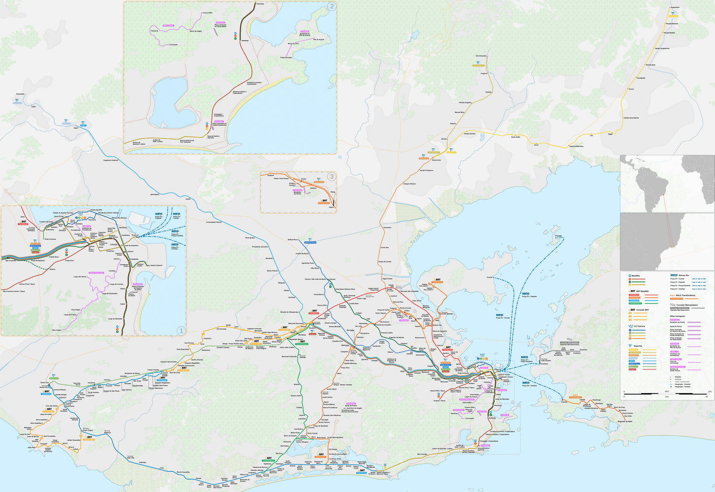
Metro map of Rio de Janeiro
A detailed map of the Rio de Janeiro metro in Brazil.

Photo credits (CC BY-SA 4.0) : Goran_tek-en
A large map of the Rio de Janeiro metro in Brazil. A detailed map of the Rio de Janeiro metro with all lines and the names of all metro stations in the city. The map also shows the city's various public transportation options, such as the funicular and cable car.