Large map of the Almaty metro
Large detailed map of the Almaty metro in Kazakhstan
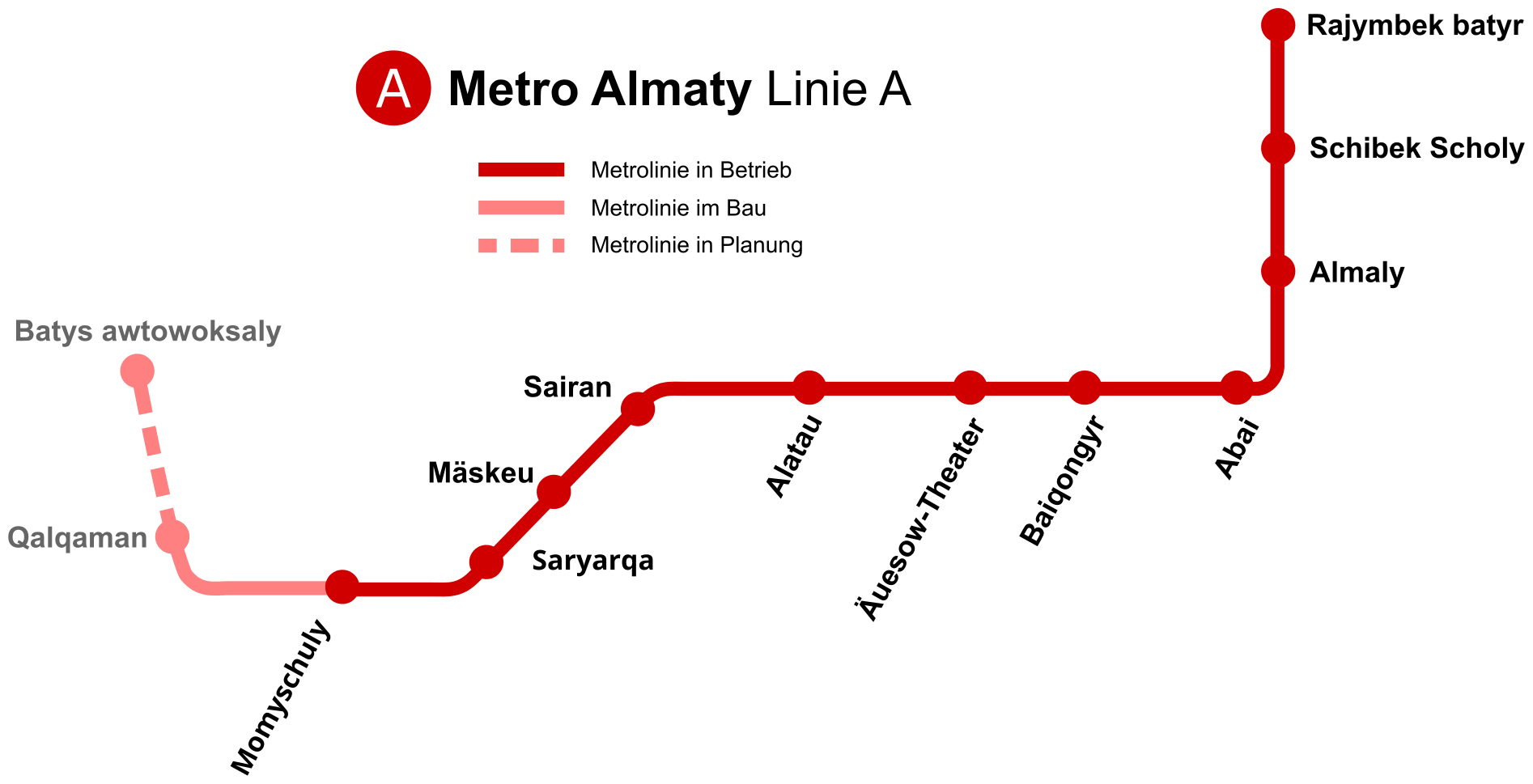
Photo credits (CC BY-SA 3.0) : A.Burgermeister, Pechristener

A large, detailed map of the Almaty metro line in Kazakhstan. The map shows the names of open, under construction, and planned stations.
The Almaty Metro is the first and only rapid transit system in Kazakhstan. Plans for the network were first developed during the Soviet era in the late 1970s, with construction beginning in 1988. However, following the collapse of the Soviet Union, economic difficulties caused significant delays, and the project took more than two decades to complete. The metro finally opened on 1 December 2011 with a single line linking Raiymbek Batyr and Alatau stations. Since then, several extensions have expanded the network, improving access to residential neighbourhoods, commercial districts, and key public facilities. Today, the Almaty Metro operates one line stretching over 13 kilometres and serving 11 stations. Known for its spacious platforms and beautifully decorated stations, the system has become an important part of public transportation in Kazakhstan's largest city while continuing to expand to meet future demand.